


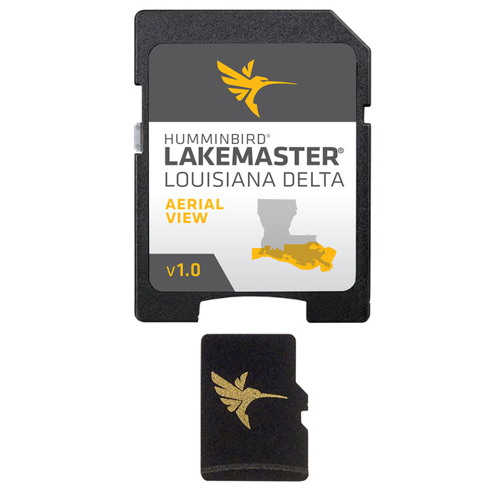
Humminbird LakeMaster Aerial Satellite View - Louisiana Delta


$149.99
You Save: (%)
This product was viewed times within last hour
Availability: In stock
LakeMaster Aerial Satellite View - Louisiana Delta
Humminbird® LakeMaster® now offers high resolution aerial photography of the Louisiana Delta on one micro card (with SD adaptor). Always know where you are with real life aerial views of shorelines, waterways, landmarks, obstructions, roads, marinas, canals, and channels. Also includes nav aids, lake names, points of interest and more!
 WARNING: This product can expose you to chemicals including Naphthalene which is known to the State of California to cause cancer. For more information go to P65Warnings.ca.gov.
Owner's Manual (pdf)
Brochure (pdf)


